by Steve Wilson
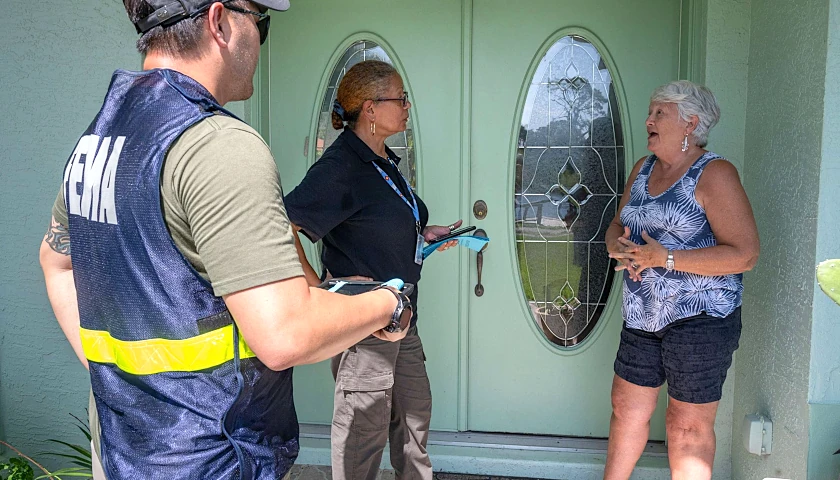
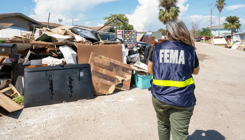
Florida’s Tampa Bay area could face record storm surge flooding from Hurricane Milton as officials try to clean up debris from Hurricane Helene before Milton makes landfall late Wednesday night.
Gov. Ron DeSantis said crews will continue to work 24 hours a day to pick up debris in affected areas from Helene until Wednesday when it is no longer safe to continue. A record 15-foot storm surge is forecast in Tampa Bay.
DeSantis said the state is bringing in fuel to alleviate shortages as many of the Tampa Bay area’s more than 3 million residents try to evacuate ahead of the storm.
He said the state has 268,000 gallons of diesel and 110,000 gallons of gas, with 1.2 million gallons of fuel en route to the state. He said state troopers escorted 27 fuel trucks to gas stations in the potentially impacted areas.
“The state of Florida is amassing fuel reserves ahead of Milton and staging it to be utilized as needed,” DeSantis said Tuesday at a news conference. “We have been dispatching fuel over the past 24 hours as gas stations have run out. Now there is no fuel shortage.
“Gas stations are running out quicker than they otherwise would, so that is causing the state of Florida to help assist with the mission to be able to get fuel to the gas stations so that Floridians have access.”
DeSantis said the state had 34 search and rescue aircraft such as CH-47 Chinook heavy lift helicopters staged for the storm, some from other states. He also said that the state had received “tremendous response” from other states.
The second-term Republican governor has activated 8,000 National Guardsmen ahead of the storm.
He also said there were 37,000 linemen ready to go after the storm passes and planning for 40,000 to help restore power to Floridians.
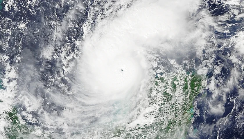
Milton, on Tuesday morning, was located near Mexico’s Yucatan Peninsula and is a dangerous Category 4 storm with winds of 145 mph. The storm hit a peak of Category 5 status with 180 mph winds and a near-record 897 millibars of central pressure, which the storm reached on Monday. The lower pressure indicates a very intense cyclone.
According to the National Hurricane Center’s forecast discussion, “there is high confidence that Milton will remain an extremely dangerous hurricane when it reaches the state.”
The Hurricane Center predicts the storm, after it went through an eyewall replacement cycle, could strengthen again and then weaken to a Category 3 storm before landfall, but with a larger wind field that could increase the area subject to large-scale storm surge.
The Tampa Bay area hasn’t endured a direct strike by a landfalling hurricane since 1921, which brought 11 feet of storm surge to the area.
Transportation Secretary Jared Perdue said the state had 156 bridge inspectors staged and ready to go once the storm is clear to ensure safe travel over storm-affected bridges.
DeSantis said there 11,000 feet of flood control devices, including tiger dams, which are flexible tubes filled with water and positioned in a pyramid shape that are filled with water and can replace sandbags to protect property from flooding.
These will be used to protect crucial infrastructure such as hospitals, wastewater treatment facilities and electrical substations.
Department of Highway Safety and Motor Vehicles Executive Director Dave Kerner said the state’s 2,000 state troopers and 3,000 auxiliary state troopers were mobilized for the storm.
He also urged evacuees on the interstates to keep the right shoulder open for fuel trucks and emergency vehicles and use the left shoulder for travel, which was authorized by state officials on Monday.
– – –
Steve Wilson has been an award-winning writer and editor for nearly 20 years at newspapers in Georgia, Florida and Mississippi and is a U.S. Coast Guard veteran and University of Alabama graduate. Wilson is a regional editor for The Center Square.


